A YouTube video posted this month shows something that sounds improbable: a person identifying the location where an unrelated clip was filmed using nothing but the sound of airplanes passing overhead. The creator behind the demonstration is Sean Colsto, and the technique has drawn attention from security researchers for its apparent simplicity.
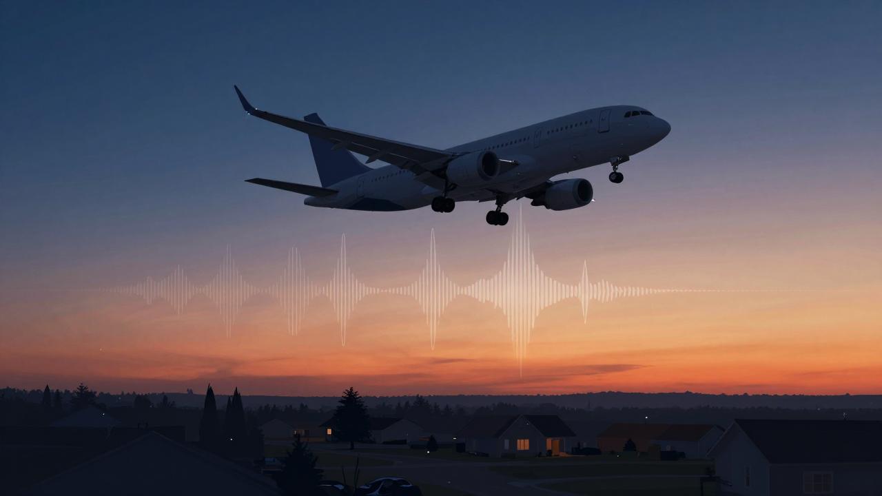
The idea works like this. Nearly every commercial aircraft in flight continuously broadcasts its position, altitude, callsign and speed through an ADS-B transponder, and websites such as Flightradar24 display that data in real time. Anyone can archive it. Sound behaves in a predictable way, and each aircraft produces a noise signature shaped by its engine type, altitude and speed. By recording the sound of planes passing over a given point at a given moment and comparing it with archived flight data, an analyst can work out which aircraft was overhead, and where an observer would have had to stand to hear it.
From curiosity to verification tool
Colsto’s video walks through the process step by step, showing how a handful of planes recorded on a phone can narrow down a filming location. Researchers have taken it seriously. Among them is Simon Willison, a developer known for his commentary on security and open-source intelligence, who wrote that the approach makes sense on its face, since commercial flights pass overhead frequently enough to provide a steady stream of reference points.
The value for investigators is straightforward. Open-source researchers, including teams that have documented possible war crimes from publicly available photos and videos, depend on establishing where and when a piece of media was captured. Existing methods lean on shadows, sun position, street furniture and skylines. Aircraft audio offers another independent signal, one that a person filming cannot easily alter and that leaves a timestamped record on public flight-tracking databases.
The same technique cuts the other way
What helps investigators can also expose ordinary people. Colsto noted in the video that the method could determine the location of anyone posting audio online, including people who believe they have revealed nothing about where they live. A walk recorded for a podcast, ambient sound posted to social media, or a livestream with open microphones all carry overhead traffic that can be matched against flight records after the fact.
Simon Willison highlighted this dual use in his commentary, observing that people rarely think of incidental background noise as identifiable information. Flight-tracking archives generally keep data for years, so a recording from the past can still be geolocated long after it was posted.
Limits of the method
The technique has constraints. It depends on aircraft being present and audible, which rules out quiet rural recordings, indoor scenes and heavily weather-masked audio. Dense air traffic corridors make the comparison easier, but they also create ambiguity when several flights pass in quick succession. Accuracy in the demonstration relied on matching more than one aircraft, since a single plane gives a line of position rather than a point.
No independent testing of the technique has been published, and Colsto’s video is a demonstration rather than a validated method. The open-source intelligence community has nonetheless treated it as a credible addition to the toolkit, in the same family as known techniques that derive location from electrical grid hum or from bird calls audible in the background of a recording.